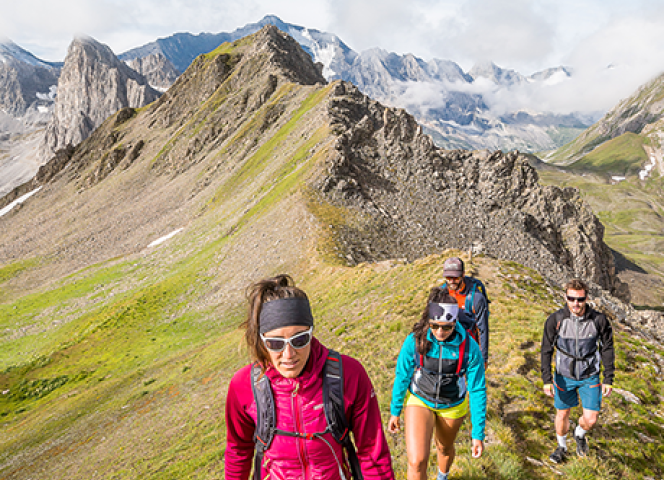
Hiking ideas from Val d'Isère
Hiking & summer vacation in the mountains
Discover Val d'Isère and their multiple circuits
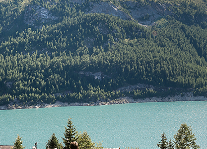
Lac de l'Ouillette from Val d'IsèrePretty hike starting from Val d'Isère Significant drop, unless you prefer to choose the easier alternative starting from the Solaise cable car to Lac de l'Ouillette.
From up there, you will enjoy a nice view of the lake bordered by the neighboring peaks.

2 hours and 30 minutes

7 kilometers

Over 662m of ascent

Go around the valley in the heart of the mountain pastures, criss-crossing the massifs.
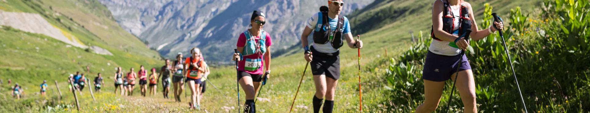
27 stages make up the Tour de Tarentaise, which progress between 420 m and 2,786 m in altitude.
Accessible to all from the age of 12, it begins in Petit Cœur, north of Moûtiers, and gradually climbs into the Beaufortain mountain pastures.

4 hours and 30 minutes

14 kilometers
840m D+ et 70m D-

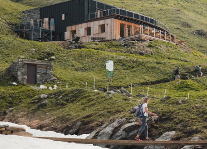
Family walk, along the path follow the Georges de Malpasset and discover a plateau as far as the eye can see in the heart of the Vanoise.
The walk ends with an arrival at the refuge where you can taste your best snack.
Open your eyes, you could come across marmots or even chamois !
2 hours
5.8 kilometers
Over 281m vertical drop

Loop walk in the Parc de la Vanoise, outside the Val d'Isère ski area at the foot of the Pointe de la Sana.
6 hours
13 kilometers
787m D+ et 749 D-


GR 55®
From Lac de Tignes to Modane, the GR® 55 crosses the Vanoise National Park at relatively high altitudes, making this a high-mountain trail.
4 days
57 kilometers
2100m D+ et 1800m D-